
Wadsworth Neighbors by Block Source
Wadsworth neighbors are not produced by one public roll. Begin with a focal property, then inspect the parcels that adjoin it. MC-GIS supplies the geographic layer. The Auditor provides current parcel and tax context. The Recorder documents recorded parties and transfers. Permit reports may date a project on the block. Public election records have their own controlled access path and are not a street browser. Wadsworth historical collections can add dated place context, but no verified public HOA or neighborhood membership directory was located in the official sources. These differences matter when a result is being compared with a modern address.
| Block evidence | What it can show near an address | Official route and limit |
|---|---|---|
| MC-GIS parcel map | Focal and adjoining parcel geometry, labels, selected layers, and historic imagery. | MC-GIS GeoMOOSE; not a boundary survey or resident roster. |
| Auditor parcel card | Current owner, situs, mailing fields, legal details, sales, and tax context. | Medina County Auditor; ownership does not prove occupancy. |
| Recorder document index | Recorded parties, dates, document types, and legal descriptions. | Medina Recorder AVA; image access can differ from index access. |
| City permit reports | Dated project, address, applicant, contractor, and permit detail. | Wadsworth archive; project roles do not establish a household. |
| Community collections | Historic yearbooks, newspapers, photos, institutions, and local places. | WPL Ohio Memory; no verified public household directory. |
Use the map to define the block, then take each selected parcel back to its own official record. Note: parcel geometry changes over time and the County Engineer says GIS is not a substitute for a professional land survey.
Map a Wadsworth Neighbor Block
The responsible method for locating Wadsworth neighbors stays inside a defined geography. In MC-GIS, search a street address or permanent parcel number, then use Identify on the focal parcel. Pan or zoom only far enough to see the contiguous parcels. For a limited area rather than direct parcel contact, Select Features can draw a point, line, or polygon and the Buffer Selection Shape tool can apply a measured distance. Save the map date, selected parcel IDs, and the layers used. A map-adjacent owner name is a property relationship, not proof that the person is a neighbor in everyday use.
- Find the focal Wadsworth address in MC-GIS by Address, Parcel ID, or another available search mode.
- Use Identify on the parcel, record its permanent parcel number, and follow the blue Deed link when a recorded-document search is needed.
- Identify each contiguous parcel separately, or use Select Features and a small documented buffer for a defined area.
- Open each parcel in the Auditor search and compare situs, legal description, owner, and mailing fields.
- Use the Recorder only for the document question, such as a transfer or legal description, rather than expanding the search into a personal roster.
For the longer address-by-address record chain along a named road, use the Wadsworth streets directory. A block method is deliberately smaller and easier to document.
Wadsworth Parcel Map Records
MC-GIS has more than one way to reach a parcel. Its Search Parcels choices include Parcel ID, Address, Acreage, City or Village Lot, owner last name, subdivision name, tract or lot, market value, and transfer date. The live viewer also lists Jump To choices for Wadsworth and Wadsworth City, Measure and Measure Area tools, printed maps, bookmarks, and aerial-photo layers. Historic parcel-boundary overlays are available for 1997-2021, 2023, and 2024. Aerial imagery choices include 2000, 2004, 2006, 2007, 2011, 2014, 2017, 2020, and 2023.
- Focal parcel
- The property used as the starting point for a block review.
- Contiguous parcel
- A parcel sharing an edge or boundary line on the map with the focal parcel.
- Buffer
- A measured area drawn around a selected shape to identify parcels within a defined distance.
- PPN
- The permanent parcel number used by the county to identify a parcel across connected property records.
Historic imagery can explain a changed road, lot pattern, or building footprint. It cannot settle a private boundary or identify everyone connected to a Wadsworth parcel.
Wadsworth Neighbor Parcel Roles
The Auditor card is useful because it separates roles that are often confused in a neighbor search. The situs is the physical property address. Deeded Owner Address and Tax Payer Address are separate fields for the owner or tax correspondence when the selected card provides them. The card may also show valuation, legal description, sales, land, improvements, and tax material. An owner may receive mail somewhere else, and a mailing address may not be the physical property address. Use the exact field label in notes instead of converting a record role into a statement about a household. The Auditor counter is at 144 N. Broadway, Administration Building third floor, Medina, and lists 330-725-9754 for direct contact.
Recorder documents supply a different role: grantor and grantee. The Medina County Recorder's services page describes the office's permanent land-record role.
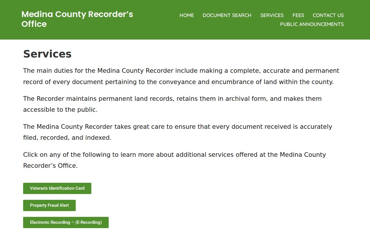
Use a recorded party, document number, recorded date, and legal description together when comparing nearby parcels, rather than treating one name as a current-neighbor finding. The Recorder counter at 144 N. Broadway Street, Room 117, Medina, is the fallback for a record image, legal-description question, or certified copy.
Wadsworth Recorded Property Alerts
For a block owner who wants to monitor their own property, the Recorder offers a free Property Fraud Alert service. It sends an alert when a transaction involving an enrolled property is recorded. The alert is not title insurance, does not freeze a deed, and does not decide that a document is fraudulent. It is a prompt to check the recorded instrument with the Recorder, a title professional, or law enforcement when needed. It does not provide a way to watch other people on a block.
The Recorder's Property Fraud Alert page is the official enrollment and information route.
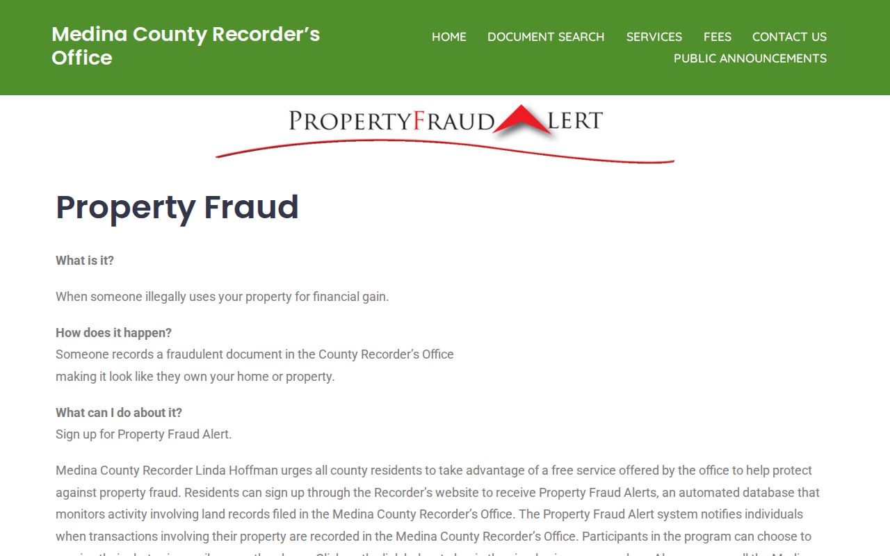
Using the official service for a property you control is a safer response to an unfamiliar recorded filing than relying on an informal block list.
Wadsworth Block Permit Records
Monthly Wadsworth permit reports run online from January 2014 through December 2024. They can include a work description or classification, applicant, property address, lot, permit number, estimated value, square footage, and category totals. This creates a dated construction or alteration clue around a block. It does not reveal an up-to-date list of people there, because an applicant can be an owner, contractor, or agent. For residential projects beginning in 2025, City zoning and County building-code responsibilities can both matter.
A project record is most useful when it is matched to a parcel number, permit number, or legal description. Check the City archive and the relevant City or County custodian before treating a missing online report as a missing project.
Voter Records and Wadsworth Neighbors
Ohio My Voter Information requires a known first name, last name, and county. It is not a public street search. Public precinct registration lists have a lawful Board of Elections access route under R.C. 3503.26, but that route includes statutory exclusions and can be limited around an election when copying would be disruptive. Protected voters, Social Security and identification numbers, telephone and email details, and confidential addresses are not a source for a block roster. The State's DATA Act voter snapshots are a controlled public-data route, not a feature for publishing a neighborhood list.
Read the privacy limits in Ohio Revised Code 3503.13 before seeking voter information. For a lawful list request or current local procedure, use the Secretary of State's Medina Board of Elections directory to reach the proper custodian.
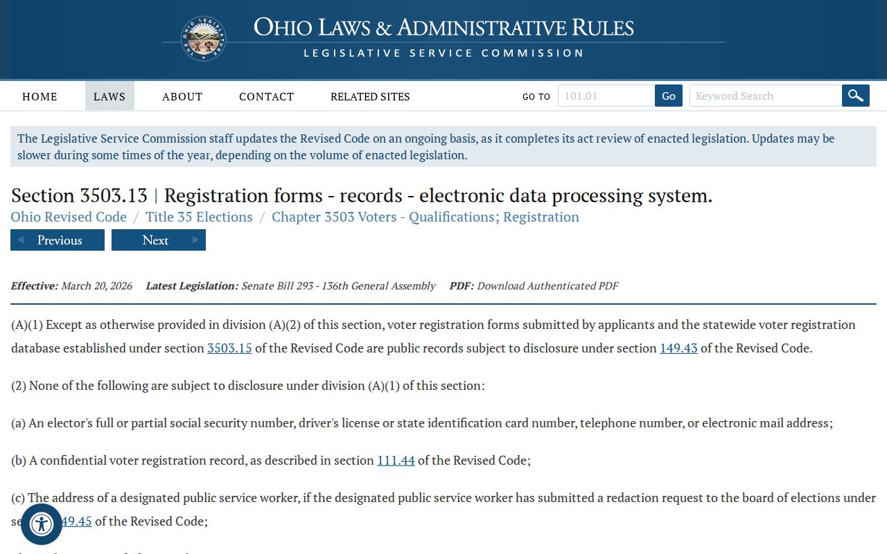
The official rule reinforces the need to use a known-person election inquiry through the proper channel, not a broad Wadsworth neighbor search.
Police incident and accident records have separate rules as well. The Wadsworth Police records page describes the City's records channel and should not be used to infer who lives at an address.
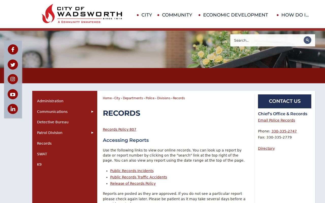
A record tied to an incident is not a substitute for a parcel or household history and may carry limits on release or interpretation.
Wadsworth Neighbor Context
Historic community sources can give a block a time period without becoming a modern directory. WPL Ohio Memory includes yearbooks, newspapers, local churches and historic homes, Blue Tip Festival material, photographs, and Ohio Match Company items. The Wadsworth Area Historical Society maintains the Johnson House Museum at 161 High Street, but its public information does not offer a searchable member or household roster. The Wadsworth Area Chamber supplies business-community context, which is different from a residential record.
For a historic property question, pair an Ohio Memory item or a newspaper citation with a map, parcel, deed, or survey record. Record the edition, date, page, image, and address wording before comparing it with a modern Wadsworth parcel. Treat a missing name in an institution's materials as an incomplete historical lead, not proof of absence.
Private Limits for Wadsworth Neighbors
A Wadsworth neighbor lookup has firm boundaries. DMV records are not a public street-directory fallback. City utility customer names, addresses, and usage can be exempt. County property records do not enumerate every member of a household. Ohio Safe at Home gives qualified participants a substitute address for voter registration, government correspondence, and official records, and confidential information is not a lead to pursue through another source. A blank or different result can reflect a lawful protection, a changed parcel, or a record that answers another question.
The Medina County Sheriff's official resources are separate from property and address records.
For an immediate safety emergency, call 911 rather than trying to investigate a person through parcel or public-record tools.