
Wadsworth ZIP Code Coverage
Two verified postal designations serve Wadsworth. One is for street delivery in the Wadsworth Post Office service area. The other is for Post Office boxes. Postal service areas do not follow the incorporated city line, so an address with the Wadsworth delivery designation can require a parcel and City check before it is treated as a City address. The table identifies the postal role of each ZIP, not a neighborhood map or a resident list.
| ZIP | Areas covered | Post Office role | Record-search note |
|---|---|---|---|
| 44281 | Wadsworth street-delivery and Wadsworth Post Office service area | Street delivery | Verify the individual address through USPS; the postal footprint may extend beyond the City line. |
| 44282 | Wadsworth Post Office box designation | PO Box designation | Not a general residential-neighborhood boundary. |
Neither designation supplies an official household search. The researched sources did not establish a Wadsworth neighborhood-by-neighborhood postal map, a realignment date, or ZIP-level voter and population statistics. Do not fill those gaps with an assumption. Start with the address and let the postal, parcel, and City records answer their separate parts of the question.
Wadsworth 44281 and 44282
44281 is the Wadsworth street-delivery designation. 44282 is for Wadsworth Post Office boxes. The difference matters when reading a correspondence address in a deed, a parcel card, or a request. A box designation points to the delivery arrangement, not the physical location of an owner or another person. Likewise, a street-delivery result does not decide whether the property lies inside the incorporated City, in a township area, or in a particular school district.
The Census Bureau’s Wadsworth community profile is a useful citywide context source, but it does not define postal boundaries.
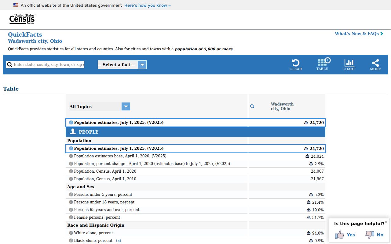
Keeping the Census city profile separate from the USPS delivery result prevents a population figure or City label from being mistaken for a postal-boundary ruling.
Postal labels are still useful in a record trail. They help confirm that an address was formatted for delivery at a given time. Then the Auditor property record can supply the parcel and its situs address, and the Recorder can supply the legal description that supports a land-document search.
Verify Wadsworth ZIP Code First
Use USPS ZIP Lookup for the postal step. Its address-to-ZIP and ZIP-to-city/state modes are the delivery check for an individual address. The live interface can change, so rely on its current results rather than a copied field list. USPS itself is not a source for title, residency, or municipal jurisdiction. After verifying delivery, search the address in the Auditor system and use MC-GIS to inspect the parcel and municipal or tax labels.
- Enter the complete Wadsworth delivery address in USPS ZIP Lookup and retain the returned postal format.
- Use the Medina County Auditor’s Parcel, Owner, or Address search to locate the physical parcel.
- Open the parcel in MC-GIS when a map view, lot, or surrounding geography is needed.
- Use the permanent parcel number or legal description in the Recorder AVA system for a recorded-document search.
- Contact Wadsworth Engineering when City address assignment or a city-limit question remains unresolved.
The sequence is deliberately narrow. It moves from delivery to property and then to legal land records, rather than treating a postal result as a list of people or a municipal map.
Note: USPS verifies a delivery designation, while the parcel record and City confirmation answer different location questions.
Find Wadsworth Records by ZIP Code
A Wadsworth ZIP search narrows an address question, not a general resident search. The Auditor has no published ZIP-only mode; its public search accepts Parcel, Owner, or Address. MC-GIS offers street, parcel, lot, owner, value, and transfer-date modes, but no ZIP search. The Recorder AVA Address tab includes a ZIP field, which can locate recorded-document address text. It does not return everyone receiving mail in that postal area. Once the address has narrowed to a street, use the Wadsworth street directory workflow for the parcel-to-deed record chain.
Ohio’s DATA Act voter portal is another channel with a different scope. It offers county and date voter-registration snapshots, with election, start-date, end-date, and county controls. A one-county request can produce an official snapshot, while larger date or county ranges have a delivery process. It is not a ZIP filter or a way to publish a postal-area roster. Preserve the current portal notices and ask the Medina Board of Elections about lawful access, allowed fields, format, and redactions.
Ohio’s DATA Act voter-snapshot portal shows the county-and-date channel used for official public data requests.
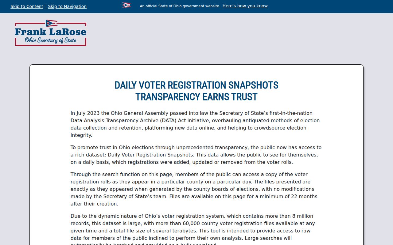
The county-level interface illustrates why a ZIP result and a voter-record request should not be treated as the same kind of search.
Wadsworth Recorder ZIP Code Fields
The Medina Recorder AVA land-record database can help after a street address or parcel is known. On its Address tab, House No, Street, City, and Zip are optional fields. AVA also has Parcel, Name, Documents, Subdivision, Municipality, and Tract paths. The address tab looks for recorded-document address text, so a result is document evidence, not confirmation that every person in a postal area lives at that address.
| AVA field | Type | Required | Result meaning |
|---|---|---|---|
| House No | Text | No | Narrows a recorded-document address search. |
| Street | Text | No | Pairs with house number for address text. |
| City | Text | No | Helps distinguish a municipality reference in the document search. |
| Zip | Text | No | Filters recorded-document address text, not a postal-area directory. |
| Parcel tab | Separate search path | No | Connects the county parcel identifier to recorded documents. |
AVA describes itself as a working index and advises users to search several ways. Results show document number, document type, recorded date, parties, and legal description. Detailed information or images can have a purchase route, so record the document number and use the Recorder counter when a copy, image, or certification is needed. The current search page does not publish an online-index beginning year.
Wadsworth City Address Assignments
Wadsworth’s local address rules explain why a corner-lot mailing label can look odd. The County Engineer Tax Map FAQ says that, for county or township assignments under its jurisdiction, the address road follows the mailbox or driveway road even when the house faces another road. The nearest Post Office supplies the mailing location and ZIP. That practical delivery rule does not decide a City assignment for a property inside a city or village.
The County Tax Map FAQ specifically directs city and village address-assignment questions to the local government. Wadsworth Engineering is at City Hall, 120 Maple Street, phone 330-335-2751, and assists with tax or topographic maps and public water, sewer, and storm-location questions. Use that City channel for an assignment or City-limit ambiguity, then use the county map for parcel and legal-transfer context.
Note: A mailbox-road rule can explain delivery formatting, but it does not replace a City determination of address assignment or jurisdiction.
Wadsworth ZIP Code District Labels
Medina County’s parcel numbering offers another reason to avoid using a postal designation as a boundary shortcut. The Auditor says the first three parcel digits identify a taxing district. Its published list includes 040 Wadsworth City–Wadsworth City School District, 049 Wadsworth City–Highland Local School District, 055 Wadsworth City/Wadsworth Township–Wadsworth City School District, and 056 Wadsworth City/Wadsworth Township–Highland Local School District. Those labels can cross City, township, and school-district contexts.
Read the entire parcel card. The situs address, municipality or township field, school district, parcel number, and legal description each answer a particular records question. A Wadsworth name in one tax or school field does not by itself prove the incorporated City boundary. If the boundary matters, use the recorded parcel and City confirmation rather than only the postal label.
Wadsworth ZIP Code Boundary Limits
Postal territory, municipal jurisdiction, and property ownership are overlapping but separate systems. A Wadsworth delivery designation can serve territory outside the City line. A property record can include tax or school labels that are not a city-limit test. A deed’s legal description identifies land, while a mailing address identifies correspondence. The proper result depends on the question: USPS for delivery, Auditor and GIS for parcel context, Recorder for legal land records, and Wadsworth Engineering for a City assignment issue.
Boundary check. Do not infer that a Wadsworth postal address lies inside the City or that a City parcel must use one postal label. Verify the address, parcel, and City record separately.
- ZIP+4
- An added four-digit delivery detail used with a five-digit ZIP. It is more precise for mail sorting, not a property boundary.
- PO Box ZIP
- A postal designation for box delivery. It does not describe a general residential area.
- Unique ZIP
- A designation assigned to one organization or institution. The research did not identify one for Wadsworth.
- Carrier route
- A mail-delivery grouping. It is not a legal parcel line or a municipal-boundary record.
These terms help keep a ZIP code directory result in its proper lane. They do not create an additional public resident database.
Wadsworth Historic Address Checks
Older Wadsworth research needs maps and legal descriptions, not ZIP guesswork. Wadsworth was established in 1814 and joined Medina County in 1818 after first being associated with Portage County. A very early administrative lead may therefore point beyond the present county context. Later documents can use a township, tract, lot, subdivision, book and page, or adjacent landmark instead of a current street address. Match those fields before declaring that an old document belongs to a modern parcel.
The Medina County Historical Society warns that property lines and numbers changed over time. MCDL deed-index microfilm covers 1790-1923, and deed-record microfilm covers 1795-1861, while the Library of Congress has an 1857 Medina County map with a Wadsworth inset. The City’s 1985/86 Historic Landmark Survey covers 102 properties and Wadsworth’s 1932 Sanborn map set has ten sheets. These sources can provide place and building context, but none supports a retroactive postal designation.
Note: Carry the lot, legal description, prior owner, and map date through an older search instead of relying on a current ZIP label.
Wadsworth ZIP Code Terms
The Wadsworth ZIP code directory is most useful as a sorting step. It confirms how the Postal Service recognizes an address, then hands the record trail to the office with the relevant authority. Use USPS for delivery. Use the Auditor and MC-GIS for the parcel. Use the Recorder for recorded land documents. Use the City for a Wadsworth assignment question. Those channels provide a clearer answer than trying to turn a delivery designation into a person, ownership, or boundary conclusion.
Public data also has lawful limits. Ohio voter records have statutory exclusions, and Safe at Home participants have confidential address protections. Use postal and public record information for personal, lawful research and do not use it to stalk, harass, intimidate, or harm another person. When a delivery address is only the first step, preserve the date and source of each result so later property or historical research can be checked.