
Search Wadsworth Streets by Address
Start a Wadsworth street search with the Medina County Auditor, using the street number and enough of the name to avoid a broad result. The parcel card is the current-property anchor. Record the situs address, permanent parcel number, displayed owner, and legal description when shown. Treat a deeded-owner or tax-payer mailing address as correspondence information, not proof that a person lives at the property. The parcel number then gives a stable way to move between the county map and land records when a document uses a lot, block, or legal description instead of a modern house number.
- Enter the address in the Auditor's Parcel, Owner, or Address search and write down the permanent parcel number.
- Locate that parcel in MC-GIS, inspect the map, and use Identify to reach the linked deed route.
- Use the Recorder index for the parcel, legal description, parties, document type, and recorded-date trail.
- Check the City permit-report archive for a dated address or project reference, while remembering that an applicant may be an owner, contractor, or agent.
- For older evidence, compare the legal description and prior owner with library microfilm, historic maps, newspapers, or a directory volume that has been confirmed for the needed year.
The Ohio voter lookup is not a substitute for that chain. It requires a known first name, last name, and county, and its street selector appears only after a person query. A narrowly described request to the Medina County Board of Elections is the documented local fallback for permitted public data, subject to statutory exclusions. That distinction keeps a street-based search tied to records that actually accept an address or parcel.
Wadsworth Street Directory Parcel Start
The Medina County Auditor property search has one public field labeled “Search by Parcel, Owner or Address.” It also links to a parcel-viewer map. A selected property card separates the physical address from Deeded Owner Address and Tax Payer Address. Its tabs can include location, valuation, legal, sales, land, improvements, and tax information. Results vary by parcel, so preserve the labels and date shown on the actual card instead of assuming every field appears on every property.
| Auditor search field | Type | Required | How it helps a street search |
|---|---|---|---|
| Search by Parcel, Owner or Address | Single text search | No | Accepts a permanent parcel number, owner name, or street address. |
| Search icon | Button | No | Runs the public one-box query. |
| MAP / Parcel Viewer | Linked map mode | No | Helps locate a property visually when the address is incomplete. |
| Sales Report | Report link | No | Provides county sales context, not a household listing. |
Use the parcel card to make the next search more exact. Its owner, parcel, legal, sale, and tax categories are property context. An owner-occupied or homestead-related indicator, if displayed for a particular parcel, is a tax-program signal rather than an occupancy census. The street directory becomes more reliable when that difference stays visible.
Wadsworth Street GIS to Deeds
Medina County Engineer’s MC-GIS GeoMOOSE parcel map is the practical bridge from an address to a recorded land document. Choose Wadsworth or Wadsworth City in Jump To, or search by Parcel ID, Address, City/Village Lot, owner last name, subdivision, tract or lot, and several other property fields. The official Engineer instruction is specific: use Identify, click the parcel, and choose the blue Deed hyperlink in the left panel. That launches a Recorder query for the parcel rather than asking a reader to guess a deed reference.
The County Engineer’s survey guidance illustrates that Identify-to-Deed route in the GIS interface.
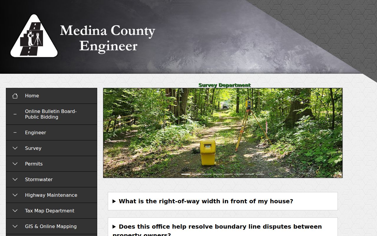
Once the linked query opens, keep the parcel number and document details together so that the map location and recorded document remain connected.
GIS also offers Identify, Select Features, a buffer control, measurement, aerial imagery, and historic parcel-boundary overlays. Those tools show parcel geography and development clues. They do not decide a private boundary, because Engineer guidance reserves that determination to a qualified Ohio land surveyor. On a long Wadsworth street, inspect each parcel separately instead of treating a map label as a complete description of the land.
MC-GIS GeoMOOSE supplies the parcel-map view used for a Wadsworth street search.
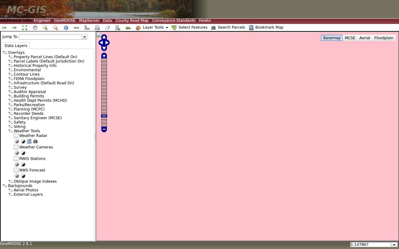
The map controls help connect a Wadsworth address to a parcel, while the linked Recorder query supplies the document trail.
Note: A Wadsworth map selection can reveal parcel relationships, but the parcel card and recorded document provide the context needed to interpret them.
Wadsworth Street Records by Source
Address-keyed sources have different strengths. The Auditor establishes the present parcel and tax context. MC-GIS shows where the parcel lies and links to a deed query. The Recorder documents recorded transactions. The Wadsworth permit archive dates a construction or alteration reference. Historical collections add older place and name evidence, but none becomes a public list of everyone who lives on a street. Use the source that matches the question, then compare dates before drawing a conclusion.
| Address record | Custodian | Street-facing evidence | Access path |
|---|---|---|---|
| Parcel property card | Medina County Auditor | Parcel, owner, situs, mailing, legal, sale, and tax context | Parcel, owner, or address search |
| Parcel map | Medina County Engineer | Parcel geometry, labels, historic imagery, and deed bridge | MC-GIS search, Identify, or selection tools |
| Recorded documents | Medina County Recorder | Parties, document type, recorded date, legal description, and linked documents | AVA index and Recorder counter |
| Monthly permit reports | City of Wadsworth | Project address, applicant, lot, permit number, description, and date | City archive PDFs from January 2014 through December 2024 |
| Historic place sources | WPL, MCDL, and Historical Society | Maps, newspapers, deed microfilm, tax duplicates, or survey context | Digitized material and in-person collections |
The City’s 1985/86 Historic Landmark Survey is another narrow address layer. It covers 102 inventoried properties in street-organized reports and can preserve an old address, history, or owner reference. It is historic evidence only. Wadsworth Public Library’s Ohio Memory items and MCDL historical newspapers can supply a dated lead, then current Auditor and Recorder material can test whether the place connection still fits.
Note: Wadsworth address evidence gains value when the record type and date are compared, rather than when a single result is treated as a complete answer.
Wadsworth Street Deeds Beyond Numbers
The Medina Recorder AVA land-record database supports more than a street-number search. Its optional fields include last or business name, first name, start and end dates, document number, document type, book, page, reference number, subdivision, lot, block, parcel, and municipality. The Address tab uses House No, Street, City, and Zip. When an old deed does not print the current address, search the parcel, lot and block, subdivision, book and page, or legal description instead.
A typical AVA result labels Document No, Document Type, Recorded Date, Party1, Party2, and Legals. Detail screens can show Party 1, Party 2, Party 3, associated documents, and a route to more information or an image. The Recorder calls AVA a working index, recommends several search methods, and says documents generally appear the next business day after recording. It does not publish an online-index beginning year on the current search page. Images or more information can require payment, while the posted certified-copy fee is $2 per page plus a $1 certification fee or seal.
- Parcel
- A permanent county property identifier that ties an address search to map and tax records.
- Situs address
- The physical location of the property, which is separate from a deeded-owner or tax-payer mailing address.
- Plat
- A recorded map that lays out a subdivision, lots, streets, or easements.
- Criss-cross directory
- A reverse-style historical directory that may organize entries by address, but should be used only after confirming that a local volume exists for the year needed.
Current names and a modern house number are a starting point, not a complete deed description. The legal fields are often the continuity link for a Wadsworth street directory search.
Wadsworth Street Permit Reports
For construction history on a Wadsworth street, the City’s archive preserves monthly permit reports from January 2014 through December 2024. The archive search uses Keywords, Archive, Time Period, Start, End, and Search. A sampled June 2024 report includes classification, work description, applicant, address and city, lot, permit number, declared value, and sometimes square footage. Search by the street number and name, capture the month and permit number, and then ask the appropriate office whether a supporting file or inspection record can be released.
Wadsworth’s permit-report archive provides the monthly-report starting point.
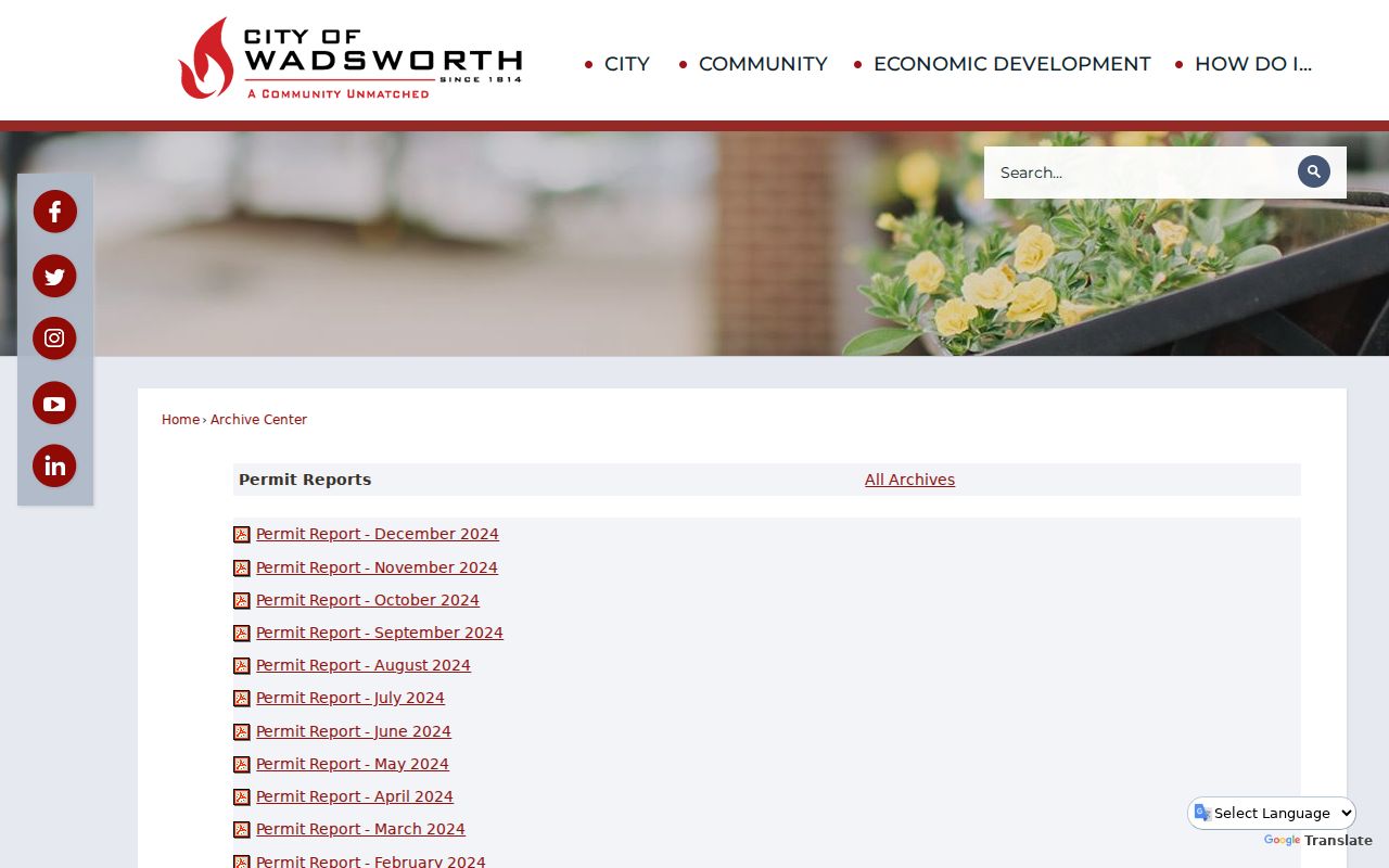
The report is useful for a project timeline because it combines a date, address, and permit reference, while the applicant label prevents an unsupported leap to current residence.
The reports are also a local comparison tool. Deeds document recorded land transactions, while permits describe work tied to a location. Aerials and parcel boundaries can show physical change over time. Each source answers a different part of the street question, so a match between two sources is stronger than treating one line as the entire story.
Note: A permit applicant can be an owner, contractor, or agent, so the report should be described as project evidence rather than a resident record.
Wadsworth Street Permit Split
Permit responsibilities changed on January 1, 2025. Wadsworth continues to process zoning permit applications and approvals, while Medina County Building Department assumed residential building-code responsibilities. Commercial and industrial building permits, plan review, and construction inspections are county functions, with City zoning and site-plan review still relevant. A post-2025 address inquiry may therefore need both channels. A result from one office does not establish that no other related file exists.
Wadsworth’s current permit instructions show the City-side application and contact route.
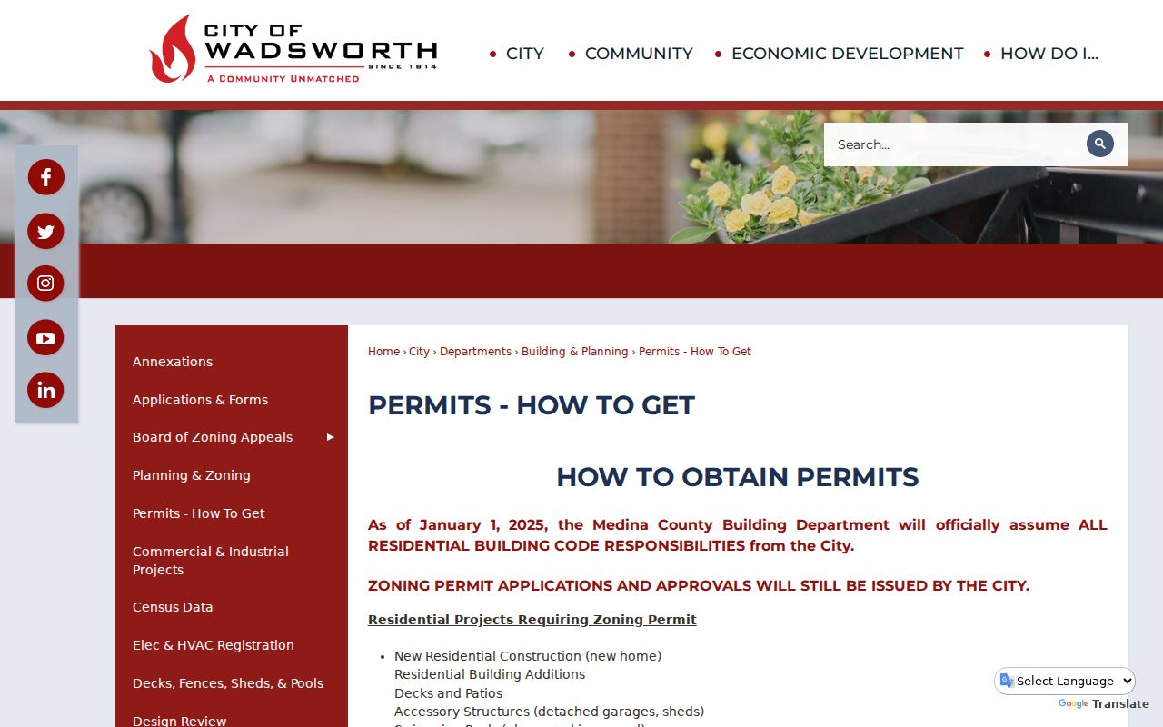
The City directs planning, zoning, and building materials by email or mail and permits payment by phone after approval, while the County handles the residential-code side described in the research.
Wadsworth Engineering can also matter when the record concerns a right-of-way project. Its application calls for a scaled plan, property lines, street dimensions, and underground utility location information. That makes it a roadwork clue, not a household source. Keep the project type, address, and office role clear when combining permits with a deed or parcel search.
Wadsworth Street Aerial Comparisons
MC-GIS can place a street in time through aerial imagery listed for 2000, 2004, 2006, 2007, 2011, 2014, 2017, 2020, and 2023, plus historic parcel-boundary overlays for 1997-2021, 2023, and 2024. The Engineer office also has 1960s orthophotos for a small printing fee. Use those layers to see building footprints, road patterns, or parcel changes, then test the change against a deed, permit, tax duplicate, or historic map. Aerials show land and structures, not the people connected to them.
The County Tax Map FAQ explains the county’s parcel, transfer, mailbox, and address context.
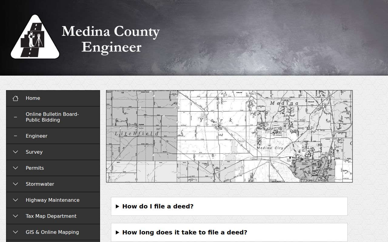
The guidance reinforces that a mapped parcel and a postal address serve different functions, which matters when comparing a corner lot or older address record.
For a deeper historic trail, the Wadsworth Historic Landmark Survey, WPL Ohio Memory, MCDL newspapers, and library deed microfilm offer different evidence types. The 1932 Sanborn map set can locate buildings and uses, but it is not a residence list. A street directory research trail is strongest when the map date and the written record date are kept side by side.
Wadsworth Street Address Terms
Four labels can look like one address but answer separate questions. The USPS ZIP Code is a delivery designation. The situs address identifies the physical property. The permanent parcel number anchors county property records. The Recorder legal description identifies the land in recorded documents. A deeded-owner or tax-payer mailing address points to correspondence. Keeping these fields separate avoids treating a Wadsworth postal address, tax label, or parcel entry as a municipal-boundary ruling.
Corner lots make the distinction visible. The County Engineer’s Tax Map FAQ says a county or township address follows the road of the mailbox or driveway even when the house faces another road. Its FAQ also says cities and villages outside the named county assignment jurisdiction should be contacted directly for address assignments. For a Wadsworth City assignment question, use City staff rather than extrapolating from a county grid rule.
Note: A matched street name is only one clue, so confirm the parcel, legal description, and date before linking an older document to a modern address.
Wadsworth Street Voter Boundaries
Ohio makes voter registration forms and the statewide registration database public records subject to exclusions in R.C. 3503.13, but the official My Voter Information tool remains a known-person lookup. It requires first name, last name, and county. A street selector can follow an initial person query, but it is not a public browse-by-street directory. The safest use is to confirm a known person’s registration or polling context, then verify the result with the date and official record channel.
For a permitted local public-record request, Medina County Board of Elections is at 3800 Stonegate Drive, Suite C, Medina, Ohio 44256, phone 330-722-9278, with office hours Monday through Friday from 8 a.m. to 4:30 p.m. Ask about the current format, fee, redactions, and restrictions for a precise precinct or street request. Phone numbers, email addresses, identification numbers, protected voter data, and qualifying public-service-worker addresses are excluded. Safe at Home participants have confidential voter records.
Wadsworth Street Directory Limits
A Wadsworth street directory built from public records cannot prove a complete household. Property rolls show taxable ownership and tax context. Recorder documents show recorded parties. Permit reports show a project applicant or related party. They do not enumerate every non-owner occupant, adult child, guest, or person receiving mail at an address. Ohio voter information is not an open street browser, and protected voter records create lawful gaps. DMV data is not a public street-directory fallback, while municipal utility customer information can be exempt from release.
Lawful use. Use Wadsworth address records for personal, lawful research and respect protected information. Do not use property, deed, permit, or map material to stalk, harass, intimidate, or harm another person.
When the question changes from a street to a particular older household, consult the Wadsworth City Directory resources for the historical collections rather than treating current parcel data as a past-resident record. For current land and address evidence, return to the parcel and document chain.